TURNING SPATIALSIGNALS INTORESILIENCE.
We build geospatial intelligence that connects weather, urban movement, and operations — turning changing conditions into action before disruption spreads.
01COMPLEXITY
CITIES MOVE.
WEATHER SHIFTS.
A storm changes more than the forecast. It changes the commute, the delivery corridor, and the next operational decision.
Every disruption is a spatial problem.
02THE PLATFORM
IN DEVELOPMENT / LAIR LABS
URBAN PULSE.
WEATHER-OPS AI.
Geospatial intelligence for cities in motion. Our platform brings hyper-local forecasts, crowd telemetry, and enterprise logistics into one decision layer.
An agentic reasoning engine connects emerging weather risks to commuter escape routes and operational playbooks for delivery fleets.
- CORRIDOR FORESIGHT
- 30MIN
- SPATIAL DISPATCH
- < 2SEC
ENGINEERING TARGETS / EARLY WARNING + ACTION LATENCY
03DECISION
FROM FORECASTS
TO ACTION.
See the risk. Protect the route.
Keep the city moving.
Pre-emptive routing, dynamic geofencing, adaptive pricing, and crisis playbooks connect atmospheric signals to decisions on the ground.
04 / 01SELECTED WORK
PUBLIC-FACING WEBGIS
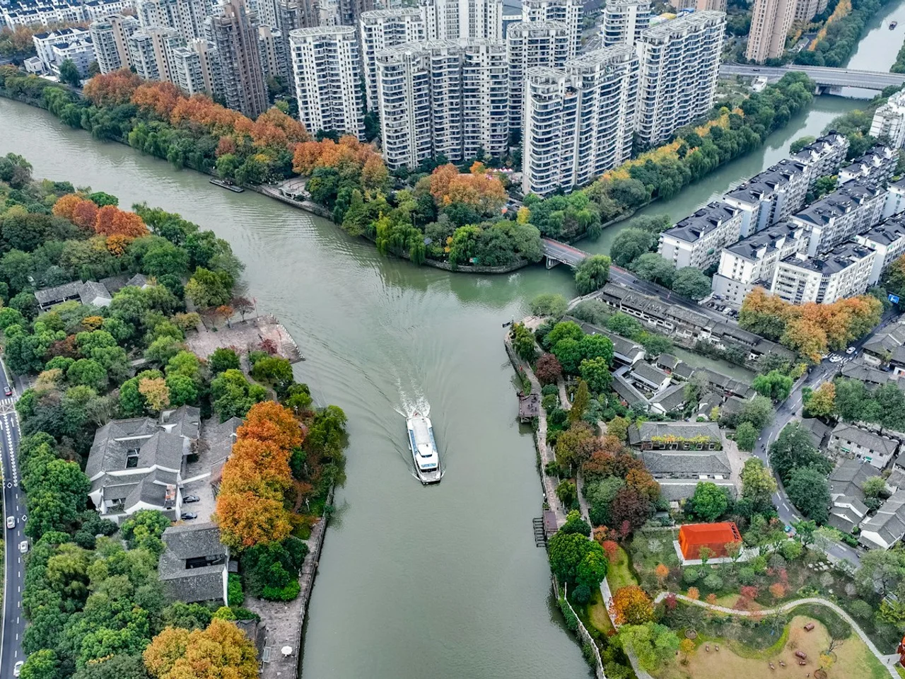
Z-FEWSFlood Early Warning Decision Support
A WebGIS decision-support platform combining hydrological processing, spatial analysis, and dynamic hazard visualization across 30 monitoring outlets.
Make changing flood conditions understandable.
04 / 02SELECTED WORK
CONFIDENTIAL CLIENT WORK
GeomatrixBuilding Intelligence
A WebGIS analytical workflow that transforms building and spatial attributes into thematic, decision-oriented views.
Read the patterns behind the built environment.

04 / 03SELECTED WORK
CONFIDENTIAL CLIENT WORK
GeomatrixSpatial Investment Analysis
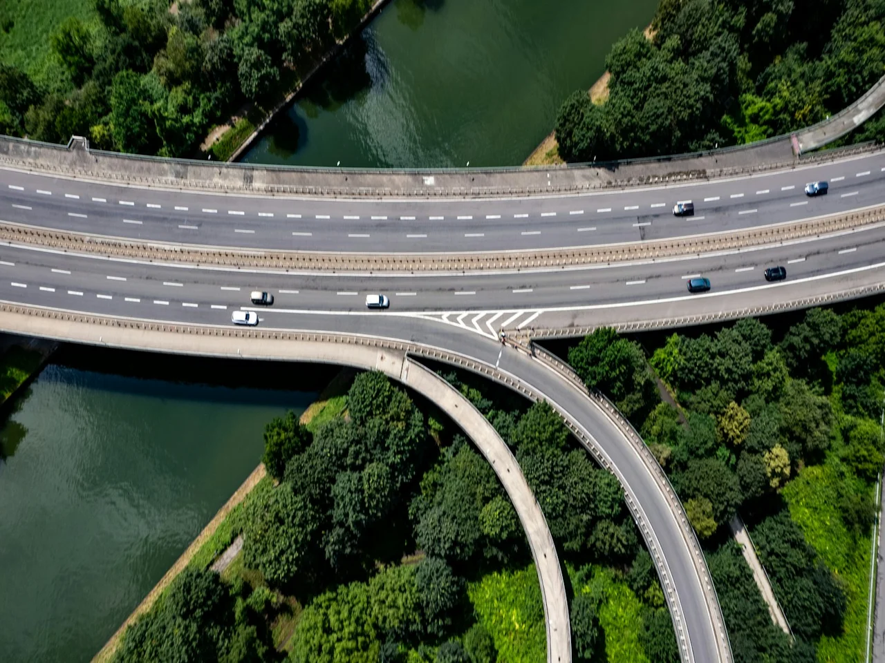
A WebGIS analysis interface for comparing geographic opportunities across areas, turning spatial criteria into an interpretable decision view.
Turn geographic differences into clear comparisons.
05ENGINEERING
BUILT FOR
SPATIAL ACTION.
Our platform architecture connects atmospheric inputs, spatial reasoning, and event-driven operations. The whole path, from signal to response.
- 01INTERFACE
- React / WebGL
- 02SPATIAL
- PostGIS / Spatial analysis
- 03DATA
- PostgreSQL / PostGIS
- 04BACKEND
- Node.js / Express / Event-driven APIs
- 05REASONING
- Agentic AI / Operational playbooks
PERN STACK / GEOSPATIAL CORE / WEBGL INTERFACE
06OUR PERSPECTIVE
UNDERSTAND
THE SIGNAL.
Resilience starts with understanding systems that change across space and time. Meteorology gives us the atmospheric context. Geospatial engineering gives it a place.
We turn that understanding into software that protects urban movement, supports operations, and helps cities adapt.
07RESOLUTION
KEEP CITIES
MOVING.
BUILD RESILIENCE.
From weather intelligence to geospatial products.
Let’s turn your spatial challenge into operational clarity.